Walk : Ligurian coast :
|
Description |
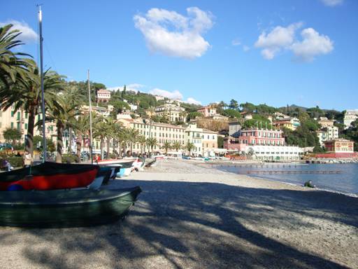
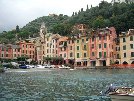
This is a very
picturesque area with olive groves on the steep hillsides and romantic
villages and harbours. The network of paved
footpaths giving access to the remote villas and cultivation terraces
provides many walking opportunities. |
|
Duration |
Half-day or full
day walk |
|
Suggested
Itinerary |
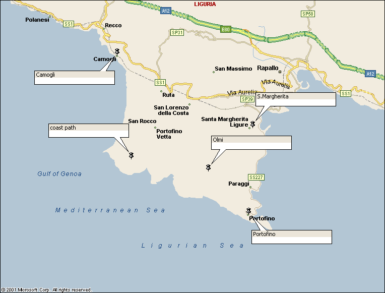
Start at Santa Margherita and follow the waymarked path clockwise round
the peninsula coast via |
|
Airport |
|
|
Accommodation at
start |
Many hotels in
Santa Margherita.
Liguria Tourist Board has details |
|
Transport to
start |
Frequent trains
from |
|
Route |
The ‘Sentiero Verde Azzurro’ long
distance path is marked as VA on the walking maps. Start at S.Margherita
harbour and follow the route south to Paraggi and |
|
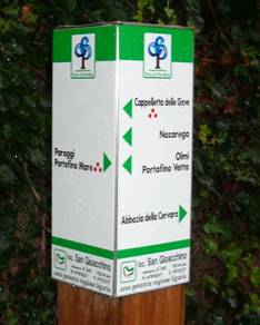
Waymarking and
terrain |
Paths are
generally paved and have steps; waymarking is generally excellent. The signs identify the routes with red
symbols as shown on the maps. |
|
Transport from
end |
Trains from Camogli to S.Margherita or |
|
Accommodation at
end |
as start |
|
|
Studio FMB
Bologna publishes 1:25,000 sheet ‘Tigullio Parco di Portofino’. FIE Genova publishes 1:25,000 sheet
‘Monte di Portofino’. Both show the waymarked routes; the former
is clearer and better for the topography but has no grid, the latter has more
detail, more paths and UTM grid for GPS compatibility. If possible, get both. |
|
Comments |
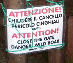
S. Margherita
Typical waymarking – and danger
! |
Walks Index
Comments are welcome – mail me at John@Jomidav.com