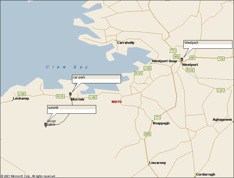
Walk : Croagh
Patrick route map
|
Description |
A short but
steep climb up |
|
Duration |
about 4 hours |
|
Suggested
Itinerary |
Follow the
popular route from the car park at Murrisk on R355 8km west of |
|
Airport |
|
|
Accommodation at
start |
Plenty of hotels
in Westport |
|
Transport to start |
No public
transport from Westport; take a taxi |
|
Route |
Follow the well
worn stony track up from the car park and back down. As a more
interesting alternative, you could follow the ‘Western Way’ waymarked route from
Westport to where it passes just south of the mountain, turn right at the
highest point on the path, cross a fence and head north west to pick up the
main route to the summit. You could
shorten this by getting a taxi to where this leaves the road at Knappagh. |
|
Waymarking and
terrain |
The short way is
easy to follow but rough and rocky underfoot; the alternative route is
unmarked and crosses untracked moorland. |
|
Transport from
end |
Arrange for taxi
to pick you up |
|
Accommodation at
end |
as start |
|
|
The mountain is
near the corner of four non-overlapping sheets of OSI Discovery series of
1:50,000 maps. The short walk
is wholly on sheet 30, but Westport is on sheet 31, the south side of the
mountain on sheet 37 and the route of Western Way is on sheet 38. |
|
Comments |
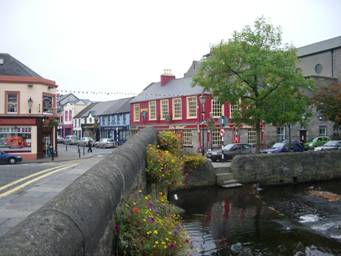
Westport and the
Carrowbeg river
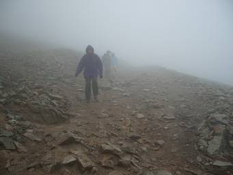
Croagh Patrick
is steep and rough and the weather can be poor
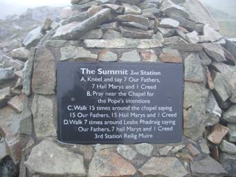
Pilgrims do
penance on reaching the summit |
Walks Index
Comments are welcome – mail me at John@Jomidav.com